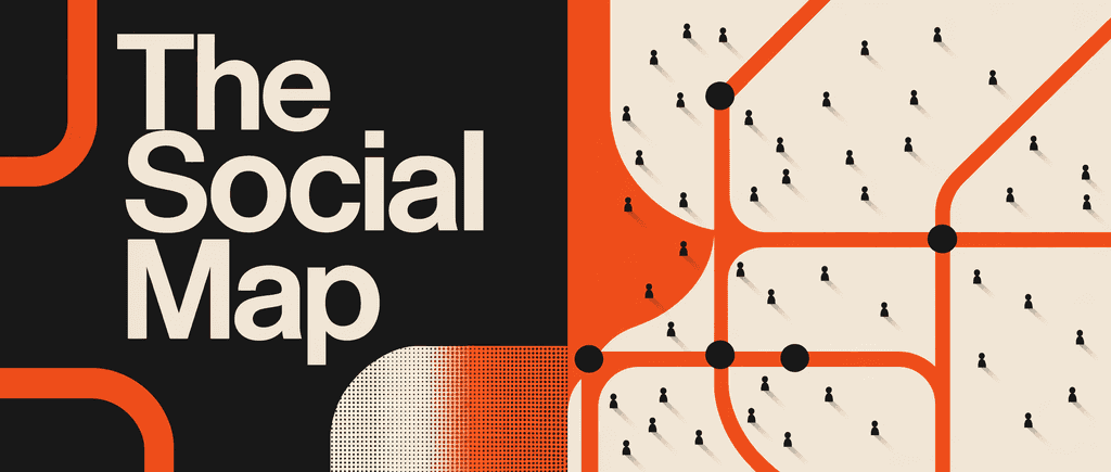
Satellite data is changing how we manage tourism
Traditional maps can't track environmental wear. Learn how remote sensing and earth observation help protect destinations while growing sustainably.

Satellite data is changing how we manage tourism最佳语录
We have to stop just counting visitors. If 20,000 people on a trail in southern Norway is sustainable, but 1,000 people in the north is a disaster, then visitor count is a useless metric on its own; you have to measure the actual degradation.
Generated by Urska
I am exploring the possibility to use satellite/ earth observation data in tourism. Help me


常见问题
Satellite sensors like the Visible Infrared Imaging Radiometer Suite (VIIRS) capture nighttime light data, which serves as an unbiased proxy for real-world economic activity. In regions where official reporting may be incomplete or "aspirational," the brightness and spread of light from hotels, resorts, and infrastructure reveal the true "light footprint" of an economy. For example, in Djibouti, while official records showed $0.4 billion in tourism revenue, satellite calibration suggested the actual economic activity was closer to $0.7 billion, uncovering a significant informal economy.
NDVI is a "health check" for the planet that measures the difference between near-infrared light, which plants reflect, and red light, which they absorb for photosynthesis. In the context of tourism, it allows managers to monitor the "wear and tear" on a destination without needing constant physical patrols. By tracking dropping NDVI values, planners can identify where vegetation is being trampled by visitors—such as on "informal" trails created for social media photos—and implement management strategies before the environmental damage becomes permanent.
Nature in northern or Arctic regions takes significantly longer to recover from human impact due to harsh conditions and short growing seasons. Research in Northern Norway indicates that while a trail in the south might sustainably handle 20,000 visitors, a similar trail in the Arctic could be completely destroyed by just 1,000 people. Satellite imagery helps map this "environmental wear," showing that once native plants are damaged, they may take decades to return, often being replaced by invasive species in the interim.
Coupling coordination is a framework used to measure how well different sectors—specifically economy, culture, and environment—work together rather than in silos. Destination maturity typically moves through three phases: initial coordination (laying infrastructure), rapid improvement (creating synergy where tourism funds heritage preservation), and stabilization optimization (using high-tech and AI to maximize efficiency). High coordination scores, seen in cities like Singapore and Shanghai, indicate that the city is successfully using its cultural assets to drive economic growth while maintaining structural and environmental integrity.
AHP is a decision-making tool used to "weight" different geographical factors based on the specific goals of a project. By layering data such as terrain slope, vegetation density, and proximity to water or roads, planners can create "Suitability Maps." These maps categorize land into potential buckets ranging from "Low" to "Very High." This data-driven approach allows developers to identify the most attractive areas for visitors while ensuring that infrastructure is built on stable ground and that ecologically sensitive "priority zones" are protected from over-development.
"Instead of endless scrolling, I just hit play on BeFreed. It saves me so much time."
"I never knew where to start with nonfiction—BeFreed’s book lists turned into podcasts gave me a clear path."
"Perfect balance between learning and entertainment. Finished ‘Thinking, Fast and Slow’ on my commute this week."
"Crazy how much I learned while walking the dog. BeFreed = small habits → big gains."
"Reading used to feel like a chore. Now it’s just part of my lifestyle."
"Feels effortless compared to reading. I’ve finished 6 books this month already."
"BeFreed turned my guilty doomscrolling into something that feels productive and inspiring."
"BeFreed turned my commute into learning time. 20-min podcasts are perfect for finishing books I never had time for."
"BeFreed replaced my podcast queue. Imagine Spotify for books — that’s it. 🙌"
"It is great for me to learn something from the book without reading it."
"The themed book list podcasts help me connect ideas across authors—like a guided audio journey."
"Makes me feel smarter every time before going to work"